
Digital Heritage
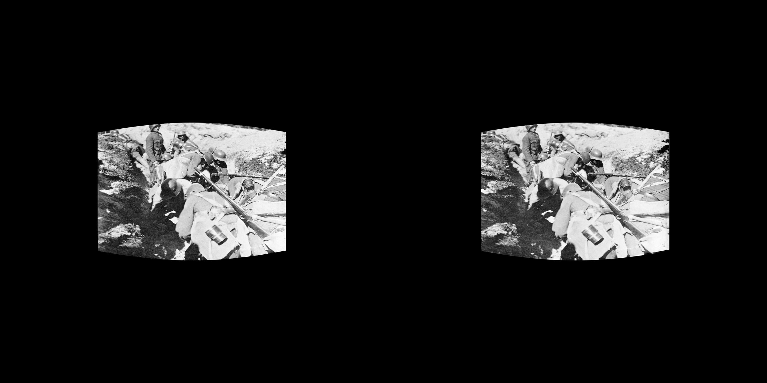
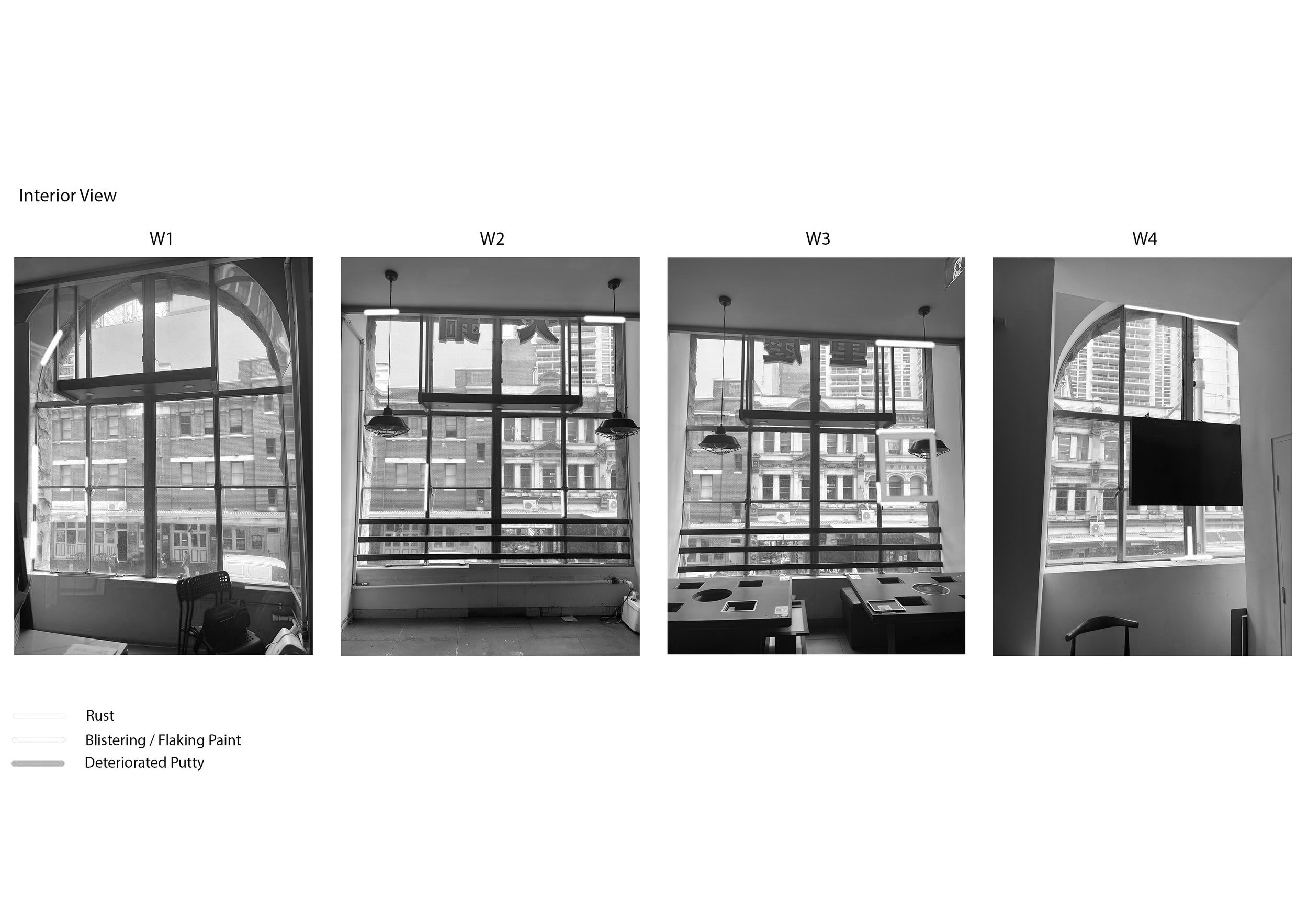
Restore integrates advanced digital technologies to revolutionize heritage documentation and accessibility. Using 3D LiDAR scanning, photogrammetry, and drone inspections, we create detailed and accurate records of structures and landscapes.
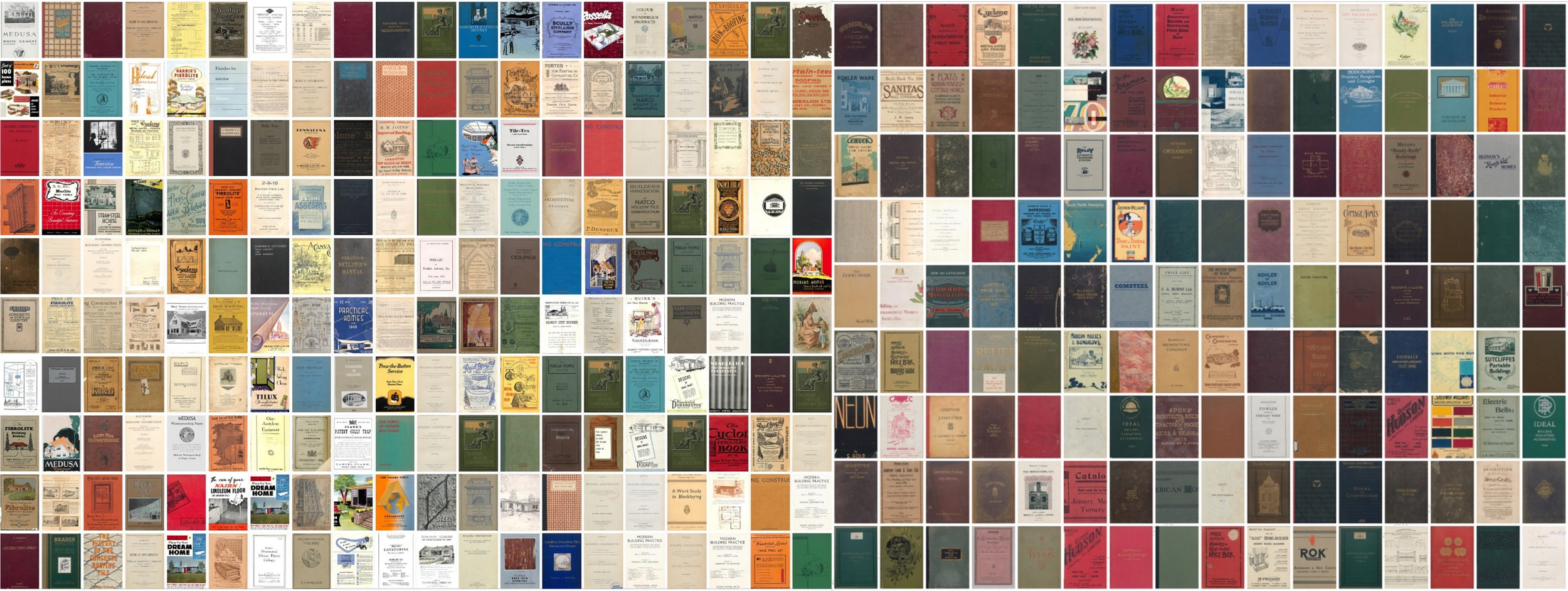
Our expertise in 2D and 3D collection digitization, along with GIS services, allows us to analyze and present heritage in dynamic, interactive ways.
We also offer digital curation services to craft engaging online experiences, bridging the gap between the past and the present. These technologies not only enhance preservation efforts but also open up new possibilities for how heritage can be explored and appreciated on a global scale.
-

3d Lidar Scanning
-

Photogrammetry
-

Drone Roof Inspection
-
2D + 3D Collection Digitisation
-

GIS Services
-
Digital Curation
-
Scan to BIM